

If you have ever been involved in a commercial real estate deal, someone has probably mentioned an ALTA survey at some point. But what exactly is it, and is it something you actually need? Whether you are a business owner, an investor, or just someone trying to understand the process, this guide breaks it all down in plain language.
What Is an ALTA Survey?
An ALTA survey is a nationally standardized land survey that follows requirements set by the American Land Title Association (ALTA) and the National Society of Professional Surveyors (NSPS). Unlike a regular boundary survey, which follows state-level standards, an ALTA survey follows one consistent set of rules across all 50 states.
This matters because real estate deals, especially commercial ones, often involve lenders and title companies from different states. Having one national standard makes it easier for everyone involved to trust the results.
The most recent version of these standards was last updated in 2021. If you are getting an ALTA survey done, make sure your surveyor is working from the 2021 Minimum Standard Detail Requirements.
How Is an ALTA Survey Different From a Regular Boundary Survey?
A standard boundary survey typically costs between $500 and $1,500. An ALTA survey, on the other hand, costs between $2,000 and $10,000 or more. That is a big difference in price, and it comes down to the extra work involved.
Here is what sets an ALTA survey apart:
- It follows national standards, not just Colorado state standards.
- It shows property boundaries, easements, encroachments, improvements, and utilities.
- It requires the surveyor to research title documents, deeds, and public records.
- It must be certified to the buyer, lender, and title company.
- It includes a detailed map called a plat that meets strict formatting rules.
A regular boundary survey simply locates your property lines. An ALTA survey goes much deeper than that.
What Does an ALTA Survey Include?
Every ALTA survey covers a standard set of requirements. On top of that, clients can choose from 20 optional add-ons listed in what is called Table A.
Standard requirements include:
- Property boundary lines and corners
- Easements and rights-of-way
- Improvements on the property such as buildings and parking areas
- Encroachments from neighboring properties
- Access points to public roads
- Waterways and bodies of water on or near the property
Common Table A options include:
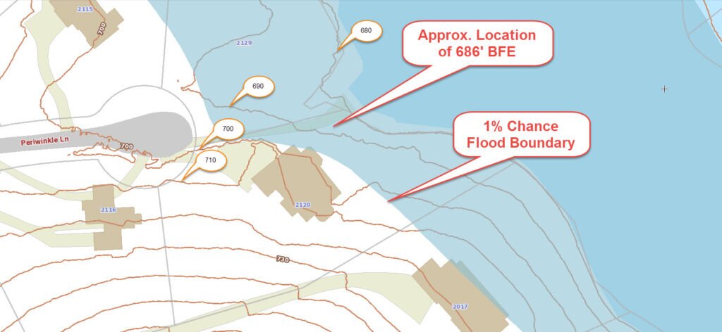
- Flood zone classification
- Zoning information and setbacks
- Parking space counts
- Utility locations above and below ground
- Gross land area calculations
Each Table A item you add increases the scope and cost of the survey. Your lender or title company will usually tell you which items they require.
Who Typically Needs an ALTA Survey?
Most national lenders and title underwriters require an ALTA survey for commercial transactions over $1 million. If you are buying or refinancing a commercial property, there is a good chance it will be required before closing.
People who commonly need an ALTA survey include:
- Commercial property buyers and sellers
- Real estate investors purchasing office buildings, retail centers, or industrial properties
- Developers planning a new construction project
- Lenders financing a commercial real estate deal
- Title companies issuing extended coverage title insurance
Residential buyers rarely need an ALTA survey. A standard boundary survey or lot survey is usually enough for a home purchase. However, if you are buying a large residential parcel with complex easements or boundary issues, an ALTA survey might be worth considering.
How Much Does an ALTA Survey Cost?
In Denver, Colorado, an ALTA survey typically costs between $2,000 and $10,000. Larger or more complex properties can cost even more.
Several factors affect the final price:
- Size of the property
- Number of Table A items requested
- Complexity of the title documents
- How much previous survey data is available
- Current workload of the surveying firm
It is always a good idea to get a written quote before the work begins. Ask your surveyor to explain what is included and what could cause the price to increase.
How Long Does an ALTA Survey Take?
Most ALTA surveys take between two and four weeks to complete. The timeline depends on the size and complexity of the property, how quickly title documents can be obtained, and how busy the surveying firm is at the time.
Rush orders are sometimes available for an additional fee, but it is best to plan ahead. If you have a closing date on the calendar, reach out to a licensed land surveyor as early as possible.
Do You Really Need an ALTA Survey?
It depends on what you are doing.
If your lender or title company is requiring one, then yes, you need it. There is no way around it. Without the ALTA survey, the deal will not close.
If no one is requiring it, ask yourself these questions:
- Is this a commercial property with multiple tenants, easements, or shared access?
- Are there any boundary disputes or encroachment concerns?
- Is the existing survey more than five to ten years old?
- Does the property have a complicated title history?
If you answered yes to any of these, an ALTA survey is probably worth the investment. Skipping it to save money now can lead to expensive legal problems later.
For a simple residential purchase in a recorded subdivision, you likely do not need an ALTA survey. A standard lot survey will do the job.

 FEMA’s