
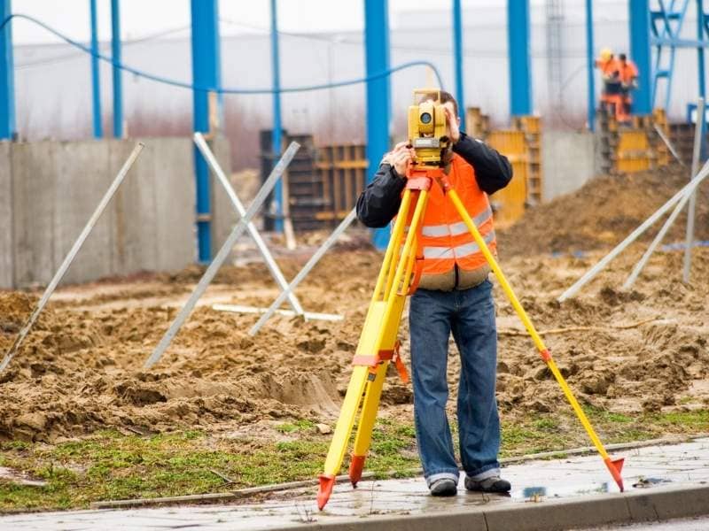
Land Surveying for Old Churches and Schools Being Turned Into New Buildings in Denver
An old church sits empty on a corner. A developer looks at it and thinks of apartments. Down the street, an abandoned school building gets a second look from someone with big plans. But you can’t just start building. First, you need to know what you actually have. That’s where a land surveyor comes in. They measure everything and show you what’s really on the property. This matters a lot for churches and schools because they’re complicated. They usually grew bigger over time. Buildings got added. Parking lots were paved. After decades of changes, nobody really knows exactly what the property looks like.
Understanding How These Buildings Changed Over Many Years
Old churches and schools didn’t stay the same size. A church built in 1920 got a new wing in 1950. Then another section was added in 1980. A parking lot covered what used to be grass. By the time someone wants to turn it into apartments or offices, the whole property is a maze of different pieces built at different times.
This creates a real problem. The building might have multiple ownership descriptions from different eras. Boundaries don’t always make sense because additions went in different directions. Some parts might not legally belong together even though they’re physically connected. A surveyor comes in and maps out every piece. They show which sections are attached. They mark where the real property lines actually run. They tell developers what can stay and what causes problems.
This matters because tearing down or moving buildings costs real money. A developer might want to remove an old addition to create open space. But the surveyor might find that piece is bolted to the historic main building in ways that make removal expensive or impossible. Better to know that before spending months planning.
Looking at Parking Lots, Fields, and Open Areas
Most churches and schools have lots of open space. Parking areas. Fields where kids played. Playgrounds. Courtyards. These spaces are huge. A developer needs to decide if those stay empty or if someone can build on them.
A surveyor measures every open area. How wide is that parking lot? How many acres does the playground take up? Is the ground level or sloped? These measurements help a developer figure out what can actually fit in each space. Maybe a parking lot becomes townhouses. Maybe a playground becomes a community garden with a small building. Maybe a courtyard turns into an outdoor market.
Knowing exact measurements also helps when deciding what to keep. An old parking lot could serve new apartments. A basketball court could stay for neighbors to use. A green area could stay for the neighborhood feel. But none of this works without knowing the exact size and shape of every area.
Around seventy percent of old building projects in Denver keep some outdoor spaces. Surveyors give developers the measurements they need to use those spaces instead of destroying them. This saves money and keeps the neighborhood happy.
Shared Driveways and Who Can Use What
Churches and schools don’t sit alone. They share the neighborhood with other buildings. Sometimes a church and community center share one driveway. Sometimes a school has a parking deal with a church next door. These arrangements mean multiple places depend on the same road or parking area.
When someone buys the property to redevelop it, these shared arrangements become problems. You can’t close a driveway if your neighbor depends on it to get to their building. You can’t change parking if someone else has the right to use it. You can’t move traffic patterns without affecting neighbors.
A surveyor documents every shared access arrangement. Which driveways serve more than one property? Where does your property end and your neighbor’s begin? What legal agreements exist for shared use? The survey makes these relationships clear and measurable. Then developers can talk to neighbors or plan new driveways that work without breaking any agreements.
Big Utility Systems That Used to Serve Hundreds of People
Churches filled with hundreds of people on Sunday. Schools had hundreds of kids. So their water pipes were huge. Their electrical systems were built big. Their sewer lines could handle massive loads. These weren’t normal-sized systems.
When redevelopment happens, those big utilities either help or get in the way. New apartments or offices need utilities. So those oversized pipes and electrical lines can serve the new buildings. But these utility corridors take up space. They limit where new structures can go. They determine where parking has to be. They affect where loading areas fit.
A surveyor finds every utility and marks its location on a map. Where does the big water main run? What electrical lines are buried underground? Where are sewer connections? What fiber optic cables are there? When developers know this, they can plan building placements that work with the utilities instead of fighting them. It saves money because nobody has to move massive pipes around.
Turning Historic Buildings Into Something New
Denver is turning old churches and schools into apartments, offices, and mixed-use spaces. These conversions are trendy. But they’re complicated. Historic preservation matters. The neighborhood matters. What made the original building special matters.
A surveyor helps with all of this. The survey shows how the property sits in the neighborhood. It shows street frontages. It shows how buildings connect to sidewalks. It identifies views that might be important to keep. It measures distances from neighboring properties.
This helps teams respect what’s special about an old building while making it new. A historic church becomes apartments with the original sanctuary saved as event space. A school becomes offices with the gymnasium kept as a community gym. The survey gives the measurements that make these mixed uses actually work.
FAQs
Why do old churches and schools need surveying before new development starts?
These buildings changed a lot over decades, creating messy layouts and unclear boundaries. A surveyor clarifies what the property actually looks like and what’s legally possible before anyone spends money on plans.
Can a surveyor show where driveways and parking are shared?
Yes. Surveyors document which driveways serve multiple properties and what parking agreements exist between neighbors. This prevents conflicts when redevelopment happens.
How do parking lots and open spaces affect new building plans?
Exact measurements help developers decide whether to keep, remove, or build on these spaces. The survey gives the measurements needed for actual design plans.
Why does it matter where the big pipes and electrical systems are?
Old buildings have oversized utilities built for huge numbers of people. Knowing where they sit helps developers place new buildings and parking in ways that work with what’s already there instead of having to move everything.
Can surveying help with turning old buildings into new mixed-use projects?
Yes. Surveys show the measurements and neighborhood relationships that help new designs respect what made the historic building special while creating something new that works.