You own a house on one lot. Your neighbor owns the house next door on another lot. What if you bought their house? What if you could combine the two properties into one larger one? Many Denver property owners think about this. Expand the yard. Build a detached studio. Create rental income. Add a pool. The possibilities seem obvious. But combining lots is more complicated than signing paperwork. You need to understand what you actually own and what’s legally possible. Land surveying reveals these details before you spend money on plans or lawyers.
Why Separate Lots Do Not Always Create One Buildable Property
Two separate properties look like one when you stand on the combined land. The fence comes down. The yards merge. You’d think that’s all there is to it. But property law doesn’t work that way. Each lot has its own legal description. Each lot might have different zoning. Each lot might have different restrictions or obligations attached to it.
Some lots can’t combine because the city won’t allow it. Denver has specific rules about how many buildings can sit on a property. It has rules about lot sizes. Some zones require a minimum lot width or depth. Your two lots might be each perfect for a single home. But when combined, they might exceed the maximum lot size for that zone. Or they might create a shape that violates setback requirements. The city might allow the combination on paper but not permit what you want to build.
Lot dimensions matter more than people realize. A property might be 50 feet wide and 150 feet deep. The neighboring property might be 60 feet wide and 120 feet deep. When combined, you get oddly shaped land. That shape limits what builders can do. Setback requirements force buildings back a certain distance from the street and from other property lines. Irregular shapes can make those setbacks impossible to meet.
Legal descriptions also matter. They come from deeds filed long ago. These descriptions refer to old boundary markers and measurements. Sometimes they describe the property with references to landmarks that no longer exist. Sometimes old surveys didn’t measure the same way modern ones do. What looks like one unified property might legally be two separate parcels with different historical origins.
How Land Surveying Helps Confirm the True Relationship Between Adjacent Parcels
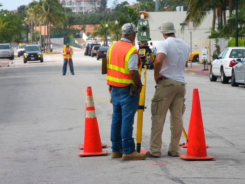
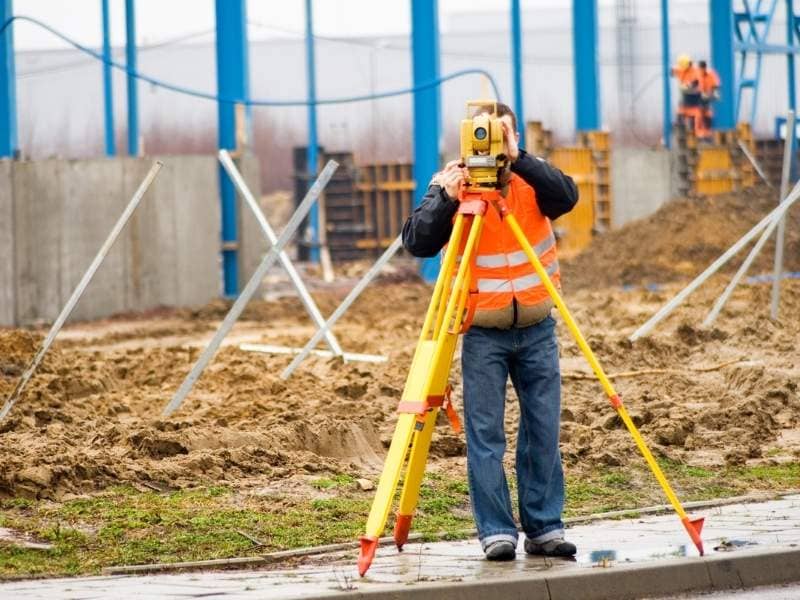
A surveyor measures both properties with modern precision. They find the original monuments and markers. They verify where the actual property lines sit. They identify overlapping areas or gaps. They measure building setbacks for each lot separately. They document easements and rights-of-way that belong to each parcel.
This surveying reveals the true relationship between the two properties. Are they aligned properly? Is there a gap between them? Does one lot encroach on the other? Are there shared driveways or utilities? A surveyor creates a detailed map showing exactly how the properties relate.
This matters because surprises are expensive. Imagine you purchase the adjacent lot and plan a renovation. During construction, you discover the neighbor’s fence sits six inches on your property. Or you find out a utility line runs in an unexpected location. Or you learn the two lots don’t align the way the deeds suggest. These discoveries stop work and create disputes.
Surveying done before purchase prevents these problems. You see exactly what you’re getting. You know exactly what restrictions apply to each lot. You understand what combinations are legally possible.
Evaluating Existing Structures That May Span Multiple Lots
Many Denver homes have been expanded over the years. An addition was built. A deck was added. A detached garage was constructed. These improvements might cross the property line between your lot and your neighbor’s. A fence might run down the middle of both properties. A driveway might partially sit on neighboring land.
When you combine lots, these structures matter. If a garage crosses the boundary, you can’t move it without legal permission. If a fence doesn’t sit on the actual property line, fixing it gets complicated. If a driveway relies on shared easement rights, those rights must continue after the merger.
A surveyor documents where every structure sits. They show which buildings are entirely on one lot and which span two lots. They show where utility lines run. They show what easements exist. This documentation helps you plan the combined property without creating conflicts with structures that already exist.
Considering Access, Alleys, and Utility Corridors Before Merging Lots
Denver has many older neighborhoods with alleys. Alleys can be public or private. An alley might be your legal responsibility to maintain. It might grant neighbors access across your property. These alleyway arrangements affect how you can use combined lots.
Utility corridors also matter. Water mains, sewer lines, electrical conduits, and gas lines cross properties. These utilities come with rights-of-way. A utility company has legal rights to access, repair, and maintain its lines on your property. Those rights don’t disappear when you combine lots. They restrict where you can build and where you can plant landscaping.
Access points matter too. How do you enter and exit the property? Do you have a legal right to use the driveway? Do you depend on a shared access road? When combining lots, you need to confirm that your combined property has legal access to a public street. Some configurations can inadvertently create landlocked properties that can’t legally be accessed.
A surveyor identifies all of these features. They show exactly where alleys run. They mark utility corridors. They document access rights. This information helps you plan a combined property that actually works.
Planning Long-Term Uses for Larger Residential and Investment Properties
Property owners combine lots for different reasons. Some want expanded yards. Some want space for guest houses or detached studios. Some want to build rental properties. Some want investment potential. The combined property creates opportunities that separate lots don’t offer.
About forty percent of lot combinations in Denver are for owners wanting to add rental income. Others want detached accessory buildings. Some want larger landscaping or outdoor entertainment areas. A few are investors planning future redevelopment when land values increase.
Land surveying provides the foundation for these plans. It shows exactly what you own. It shows what’s legally possible. It shows what restrictions apply. With this information, you can make smart long-term decisions. You can plan confidently. You can avoid costly mistakes.
FAQs
Can neighboring parcels automatically be treated as one property?
No. Each lot has its own legal description and restrictions. Zoning rules, lot sizes, and other requirements might prevent combination or limit what you can build on combined land.
Why is land surveying important before combining adjacent lots?
Surveying shows the exact boundaries, existing structures, utilities, and legal restrictions for each property. This information is essential before combining lots or planning future development.
Can existing structures crossing lot lines affect a lot combination?
Yes. Fences, garages, driveways, and other improvements crossing the boundary create legal and practical complications. Surveying documents these and helps you plan around them.
Do alleys and utility easements influence how lots can be merged?
Absolutely. Alleys, utility corridors, and easements restrict where you can build. They affect property access and future development options. A surveyor documents all of these.
What advantages do property owners gain from combining adjacent lots?
Combined lots create space for expanded yards, rental properties, detached buildings, or future redevelopment. Surveying confirms what’s actually possible for your specific properties.

 Land Surveyors are professionals who make precise measurements to determine the size and boundaries of a piece of real estate. While this is a simplistic definition, boundary surveying is one of the most common types of surveying related to home and land owners. If you fall into the following categories, please click on the appropriate link for more information on that subject: