Here Is How to Find Property Lines on Your Own
Most homeowners have no idea exactly where their property lines are until something forces them to find out. Maybe a neighbor put up a fence. Maybe you want to add a deck or a shed. Whatever the reason, knowing how to find property lines on your own is a useful first step before spending money on anything else. This guide walks you through the practical methods you can use right now, no tools required.
Start With Your Property Deed
Your property deed is the legal document that describes the boundaries of your land. If you bought your home, you should have received a copy at closing. If you cannot find it, you can get one from the Denver County Clerk and Recorder’s Office, either in person or through their online portal.
The deed contains a written legal description of your property. It may reference distances, compass directions, and landmarks or monuments. This is called a metes and bounds description, and it can be difficult to interpret without experience. However, it gives you a starting point and tells you roughly what shape your lot is and how large it should be.
Check the Recorded Subdivision Plat
If your home is in a recorded subdivision, a plat map was filed with Denver County when the neighborhood was developed. This map shows every lot in the subdivision with its exact dimensions, lot numbers, and street layouts.
You can access subdivision plats through the Denver County Assessor’s Office or the Clerk and Recorder’s Office. Many Colorado counties also make these available online through their public records portal. Search by your address or parcel number and look for the recorded plat associated with your subdivision.
The plat will show your lot dimensions and where your corners should be relative to neighboring lots and streets. It is one of the most reliable free resources available to homeowners.
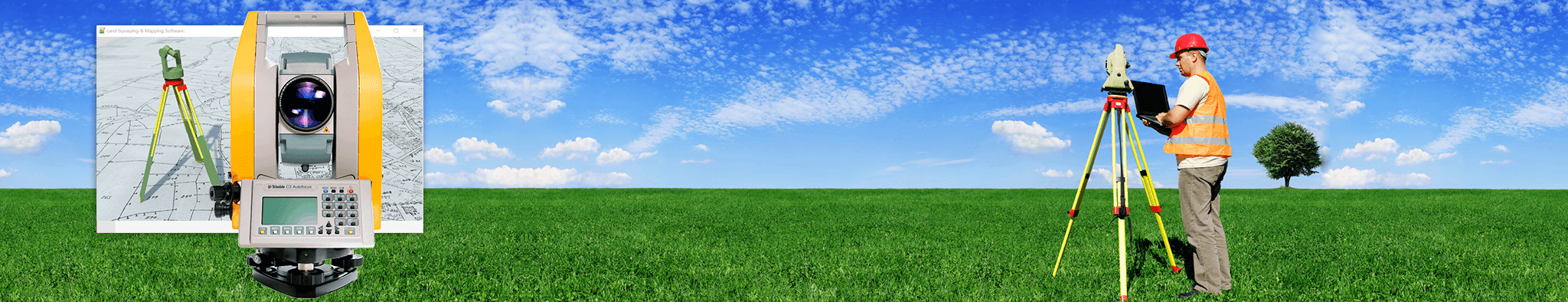
Use the Denver County GIS Map
Denver County offers a public GIS mapping tool that lets you view property boundaries overlaid on satellite imagery. You can access it through the Denver county assessor website by searching your address.
Here is what you can do with it:
- View approximate property boundary lines on a map
- Check lot dimensions and acreage
- See neighboring parcel boundaries
- Identify your parcel identification number for further records searches
Keep in mind that GIS maps are not legally precise. They are based on recorded data and are useful for getting a general picture of your boundaries, but they should not be used to make construction decisions or settle disputes. Boundary lines on a GIS map can be off by several feet.
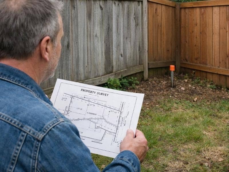
Look for Physical Monuments on Your Property
Survey monuments are physical markers set in the ground to mark property corners. In Denver, these are typically iron pins or pipes driven into the ground, sometimes with a plastic cap stamped with the surveyor’s license number.
Here is how to locate them:
- Start at the corners of your lot as shown on the plat map
- Use a metal detector to scan the ground at each corner location
- Look for a small cap or pin flush with or just below the ground surface
- Check near sidewalks, curbs, and lot corners in older neighborhoods where pins are more likely to still be in place
If you find pins, do not assume they are accurate without verification. Pins can be moved, buried deeper over time, or placed incorrectly years ago. They are a helpful clue but not a definitive legal answer.
What Online Tools Can Help?
Beyond the county GIS system, a few other tools are worth knowing about:
Colorado Secretary of State and county assessor websites allow you to pull up parcel records using your address or parcel ID. These records often include a link to the recorded plat or deed.
Google Maps and Google Earth can give you a rough visual reference, but these tools are not accurate enough for property line purposes. Do not rely on them for any decision that matters legally.
The FEMA Flood Map Service Center is useful if you want to check whether your property or its boundaries are near a flood zone, which can affect what you can build and where.
When Your Own Research Is Not Enough
There are situations where doing it yourself simply will not cut it. If any of the following apply to you, it is time to call a licensed land surveyor:
- You are planning to build a structure, fence, or addition close to the property line
- There is a disagreement with a neighbor about where the line falls
- Your deed description is vague, missing, or conflicts with a neighbor’s deed
- The property has never been surveyed before
- You are buying land and want to confirm you are getting what you are paying for
A licensed surveyor will set legal monuments, produce a certified plat, and give you documentation that holds up in court if it ever comes to that. No online tool or DIY method can do that.